Returning to Mount Kenya

It had been over a year since I last did a long hike in Mount Kenya and on the last days of December, last year, I went back - partly to spend free time and partly to close the year on a high.
The weather wasn't the best, the wet season was nearing its end and the mountain kept cycling between having clear skies, overcast, light showers and ultimately heavy rain. It was, nonetheless a good time on the mountain.
The Route
I had not planned to summit, rather I did a two-day loop on the Sirimon side of Mount Kenya accompanied by a guide: from Old Moses to Shiptons via the usual Mackinders valley and back via the Likii North route. The highest point was the Hausberg Col (4592 M), a short detour from Shiptons camp.
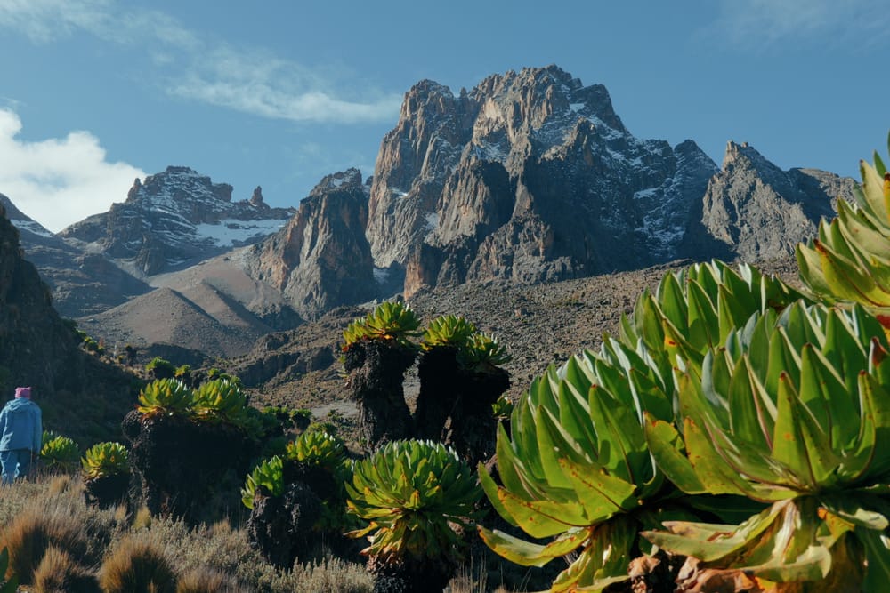
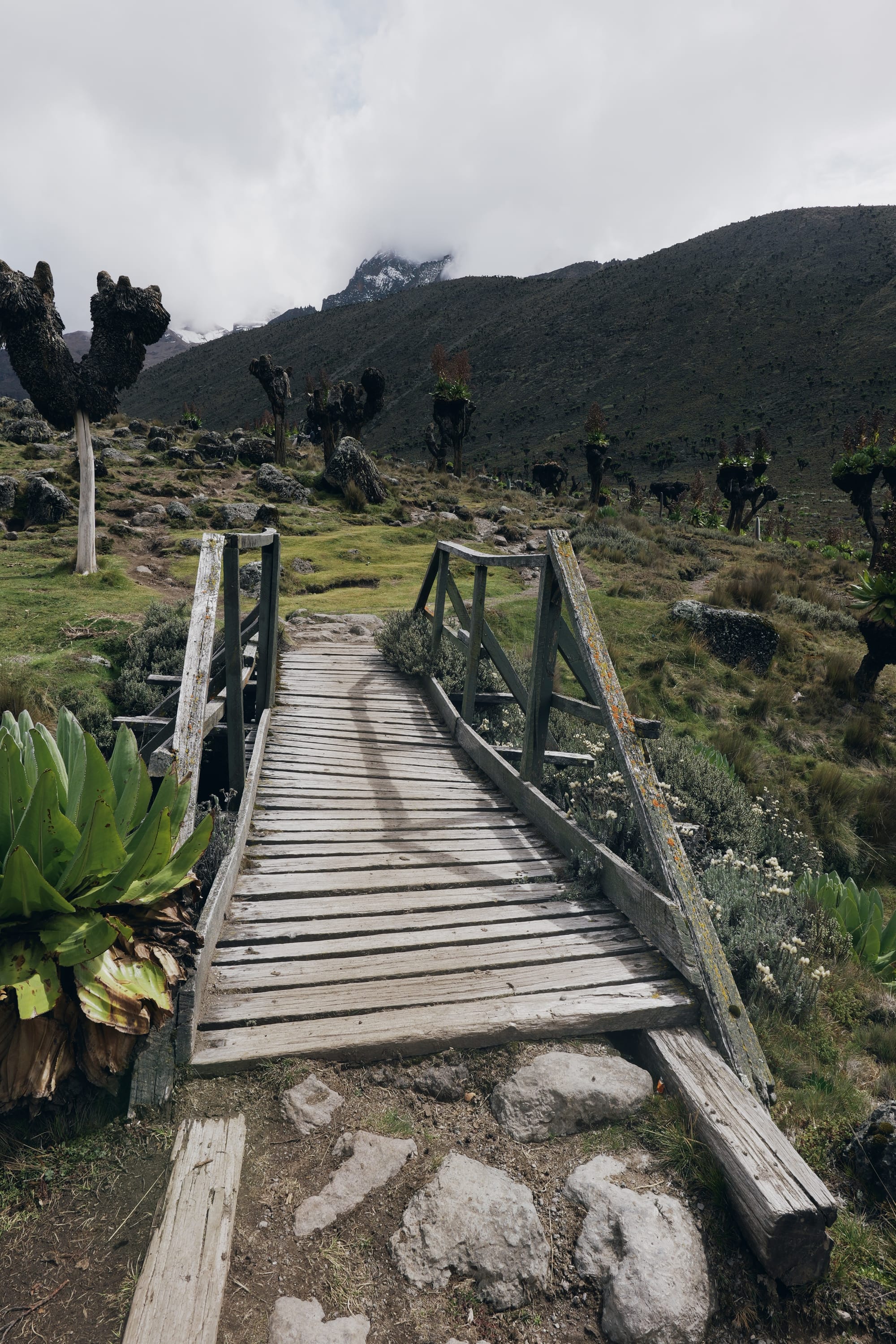
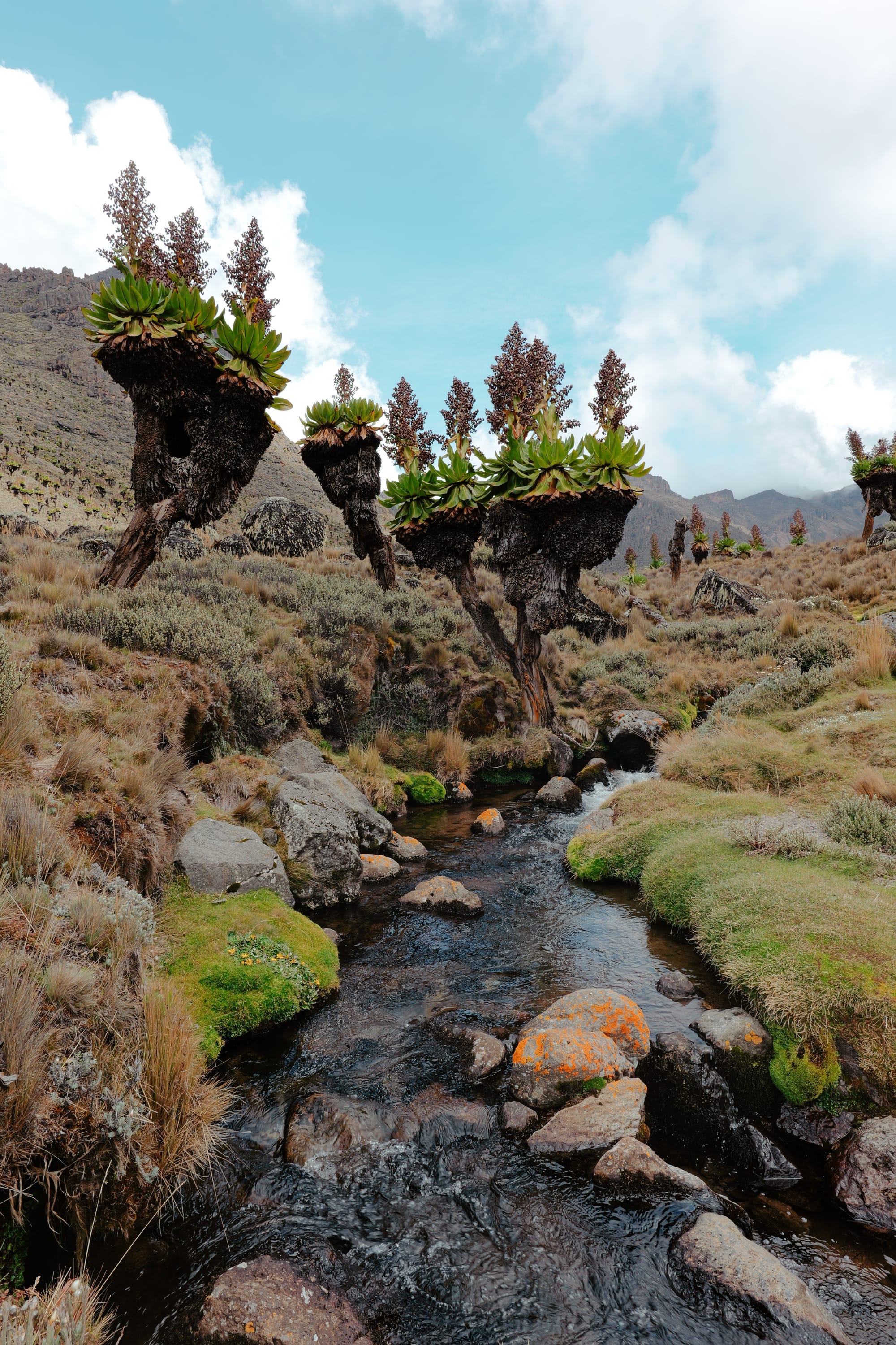
At its best, the route gave us the classic Mackinder’s Valley moments - clear views of the peaks, giant lobelias fields and the calming streams flowing down the mountain. At its worst, ponchos came out to shelter from the rain and the climb up to Likii North humbled us.
A false start
The trip started with a refusal.
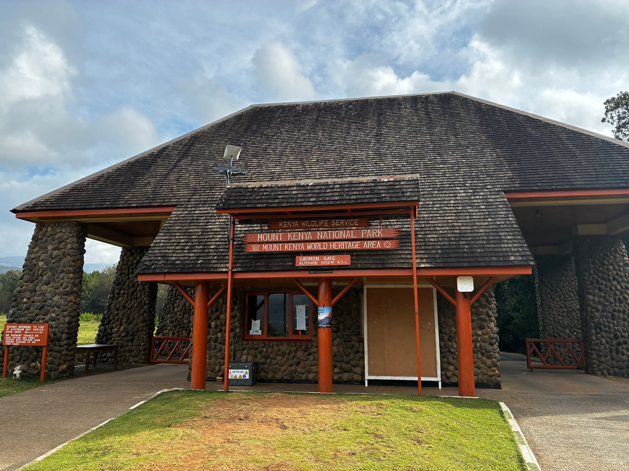
I got to the Sirimon Gate towards end of the day, my plan had been to camp and begin my hike the next day. It turned out that I couldn't hike alone and needed a guide.
The park rangers were kind enough to help me - I got a guide coming off the mountain, who was willing to turn around for another trip.
I camped at the Judmeier campsite (KWS campsite) near Old Moses camp, where I met a group of porters and mountain crew who welcomed me to their tent for tea and turned what would have been a dull night into a loud and warm encounter.
Gentle climbs, gentle showers
The first day started out with clear skies and a warm morning sun.
We set out from Old Moses, traversing tussock fields, crossing two river valleys (Nyariginu and Likii) and reaching the viewpoint rest point. By now the weather had slowly turned to being cloudy and overcast.
We had our lunch at the viewpoint, talked with fellow hikers and then started our gradual ascent towards Shiptons camp in the Mackinders valley. It rained quite a bit on the way but cleared up on the last couple of kilometers.
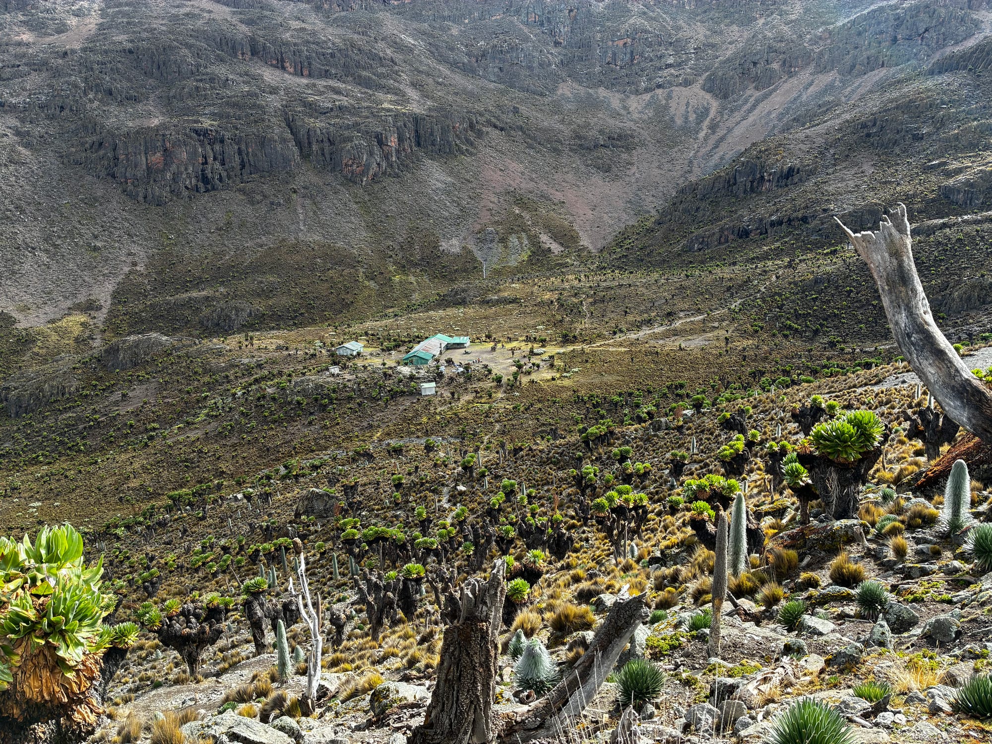
We camped at the KWS Campsite, wonderfully situated next to small winding stream, and enjoyed the amphitheater views of the mountain peaks.
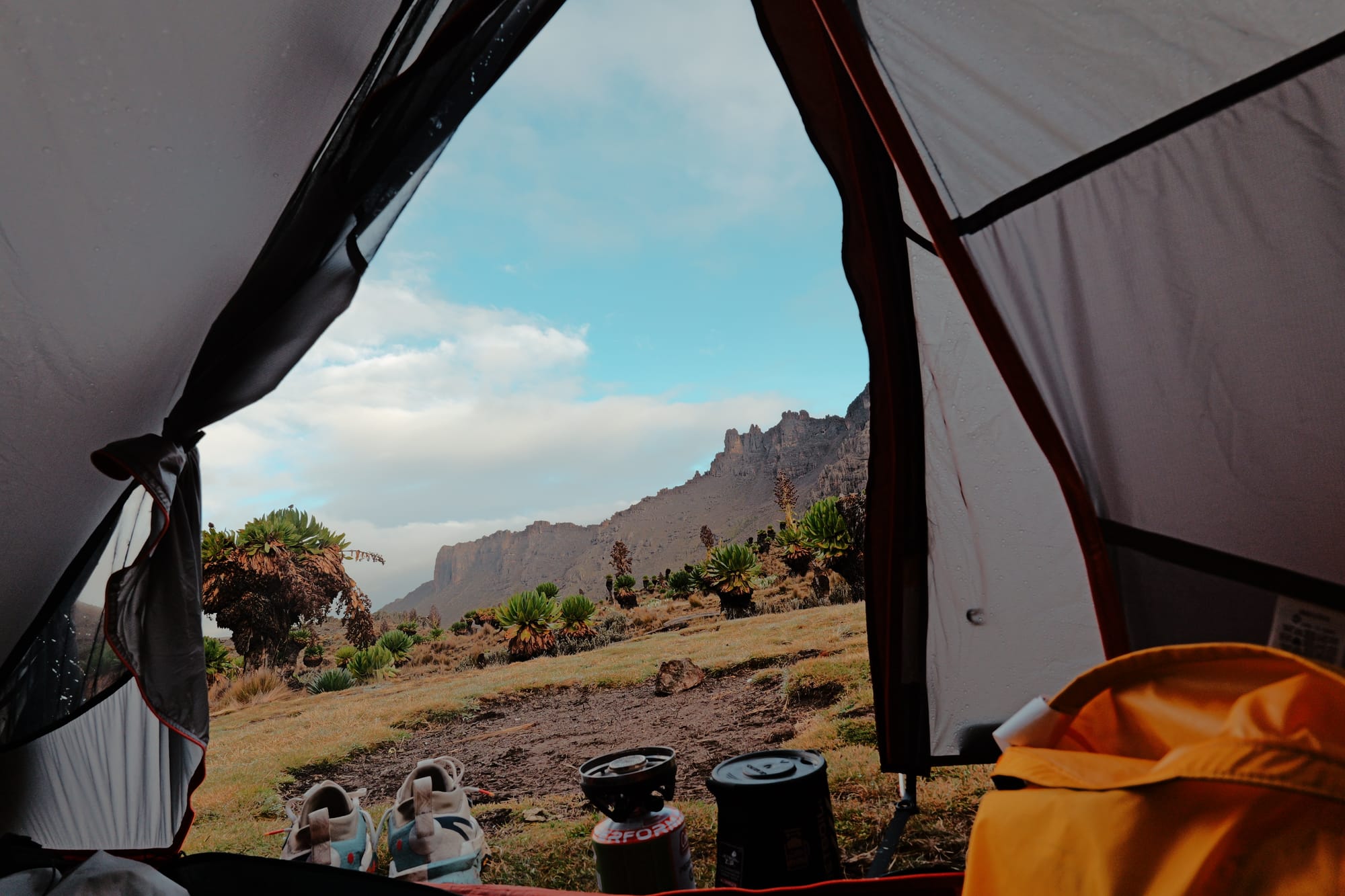
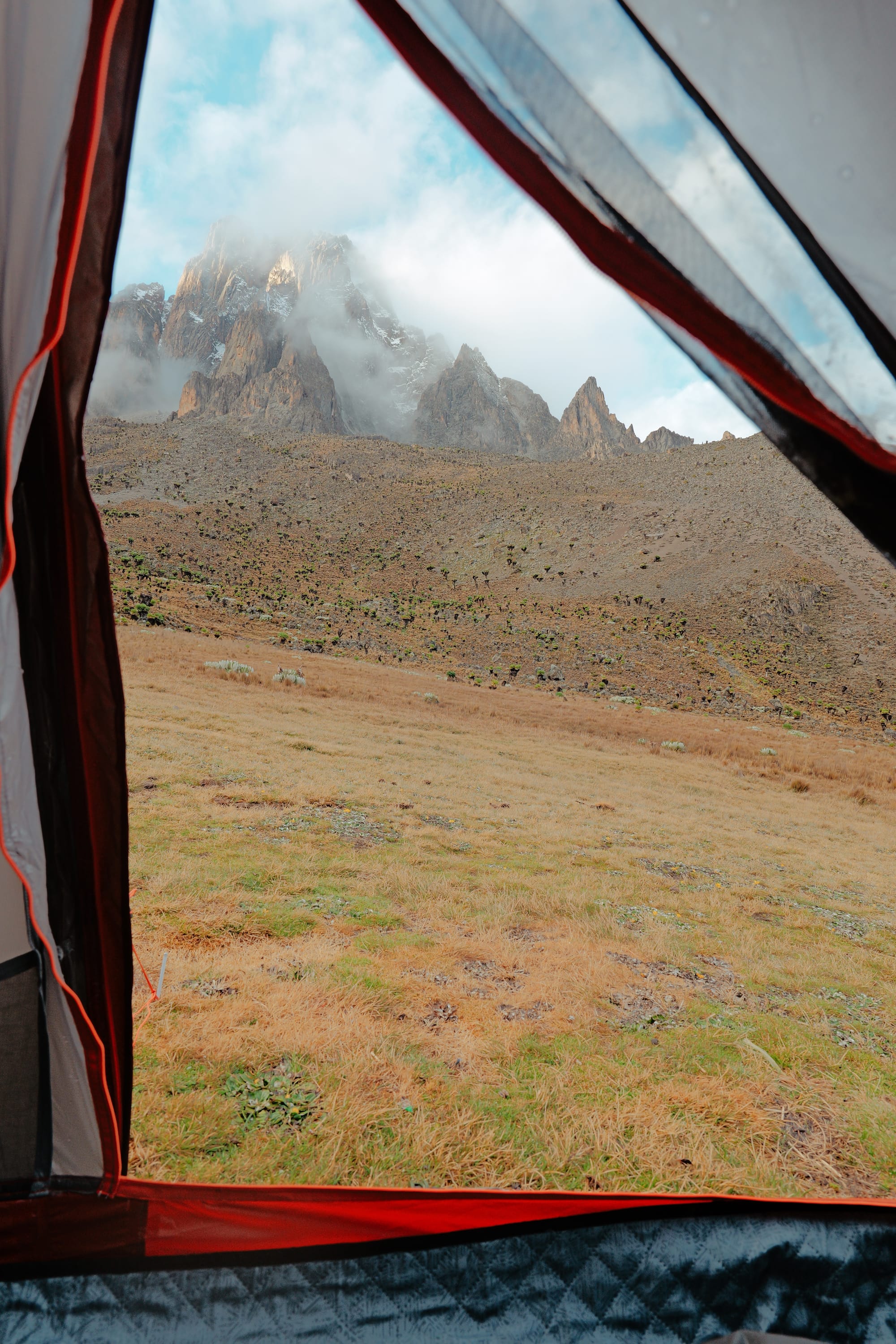
Views from my tent
A high point with no views
The next morning, we started the climb toward Hausberg Col—the route’s high point at 4592 m.
It was a steep, slow climb to the top of the col, with the air thinning as we went up and the lobelia fields giving way to bare rocks and loose soil.
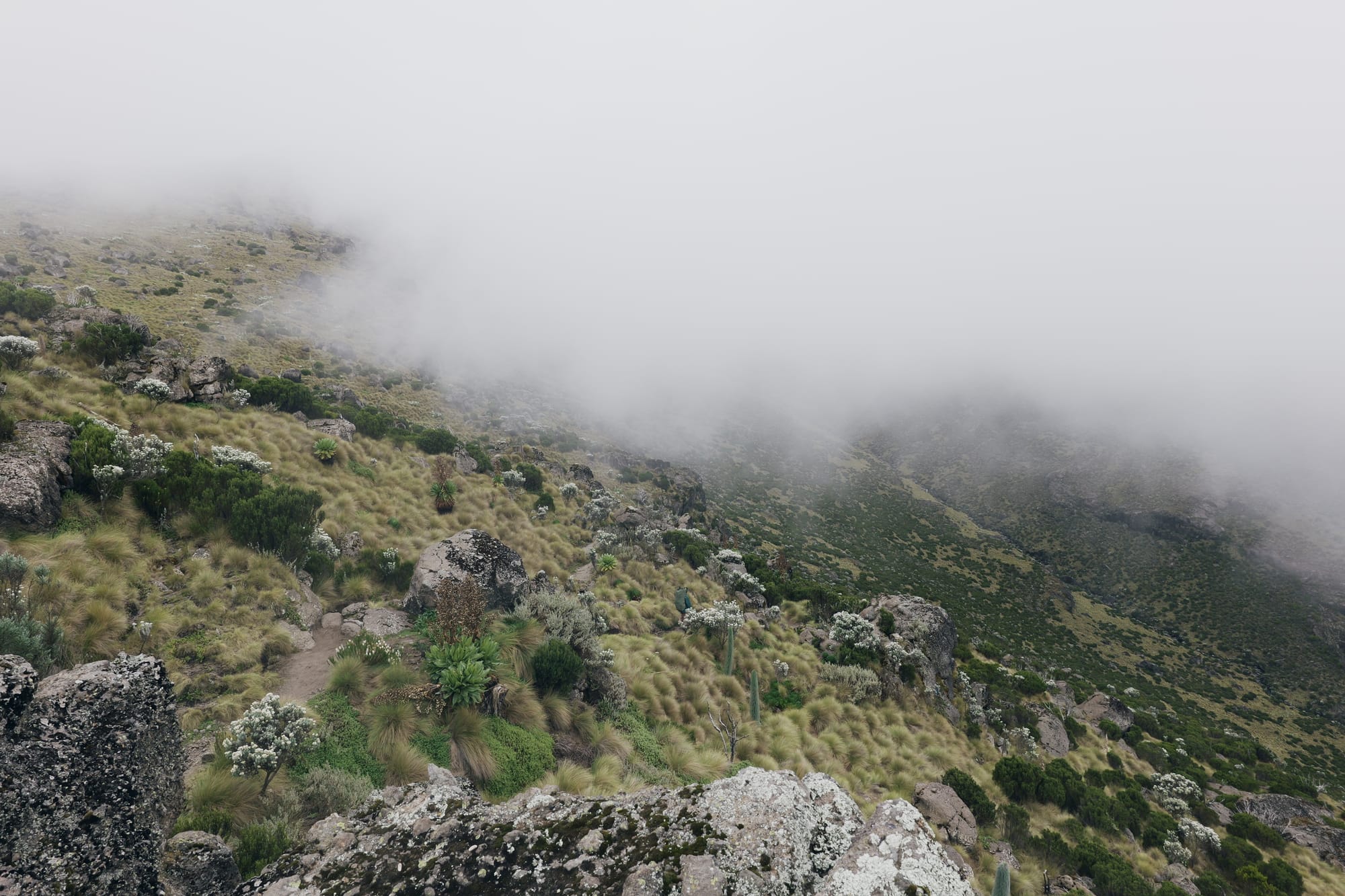
At the top of the col, there is supposed to be a great view of the Hausberg tarns on the other side of the mountain. Unfortunately the foggy weather that morning had closed off the view. We however had great views of the Shiptons camp below us.
After our small detour to the Hausberg Col, we descended to Shiptons camp, picked our bags and headed back on the Mackinders valley, this time, aimed for Likii North campsite.
The hike to Likii North was uneventful except to the notable climb out of the Mackinders valley to the Likii North valley, on which the campsite is situated.
The weather remained overcast while we were on the Mackinders valley, became light showers as we hiked up out of the valley and proper rain as we descended to the Likii North campsite for our lunch.
After a brief half-hour lunch stop we proceeded towards Old Moses, crossing boggy sections and jumping over small gaps in the trail that had been eroded by the rains. The rainy weather made this section dull but my guide mentioned that there are excellent views of the peak in clear weather.
We arrived back at Old Moses around 4:30 in the afternoon, the weather had cleared again and I was dry except for my soaked trail runners. This was the end of my two days hiking trip.
FIELD NOTES
34 km • +1650m/-1630m • 4592m high point • Loop • Wet season
🗺️ Conditions
- Weather: rapid changes; assume rain even in clear mornings 🌧️
- Terrain: Mackinder’s gradual, Likii North boggy in wet conditions
- Altitude: noticeable above 4000m; steady pacing pays off
🥾 Recommendations
- Hausberg Col: worth the climb even without views
- Footwear: waterproof boots + gaiters for wet season
- Pacing: boring = safe at altitude, especially on wet rock
⚠️ Risks / Gotchas
- Likii North: bog, washouts, and slick footing after rain
- Weather shifts: rain typically after midday
- Guide requirement: no solo hiking; arrange before or at Sirimon Gate
🧰 Checklist
- Waterproof boots / gaiters
- Poncho or rain shell
- Dry bag / pack liner
- Trekking poles
- Thermal layer for Shiptons night
- 2L water + electrolytes
Parks Fees for Locals
| Activity | Fees (per day) |
|---|---|
| Conservation Fee | 800 |
| Camping | 200 |
| Vehicle | 600 |
| Mountain Guide | 3000 |