

Gatamaiyu Trail Hike
Summary Card
| Region | Kiambu |
|---|---|
| Trail Name | Gatamaiyu Trail |
| Distance | 8 km |
| Elevation Gain | 447 m |
| Duration | 3–5 hours |
| Difficulty | Moderate |
| Trail Type | Loop |
| Season | Dry |
| Highlights | Tea farms, Waterfalls, Caves |
| Fees | Free |
Introduction
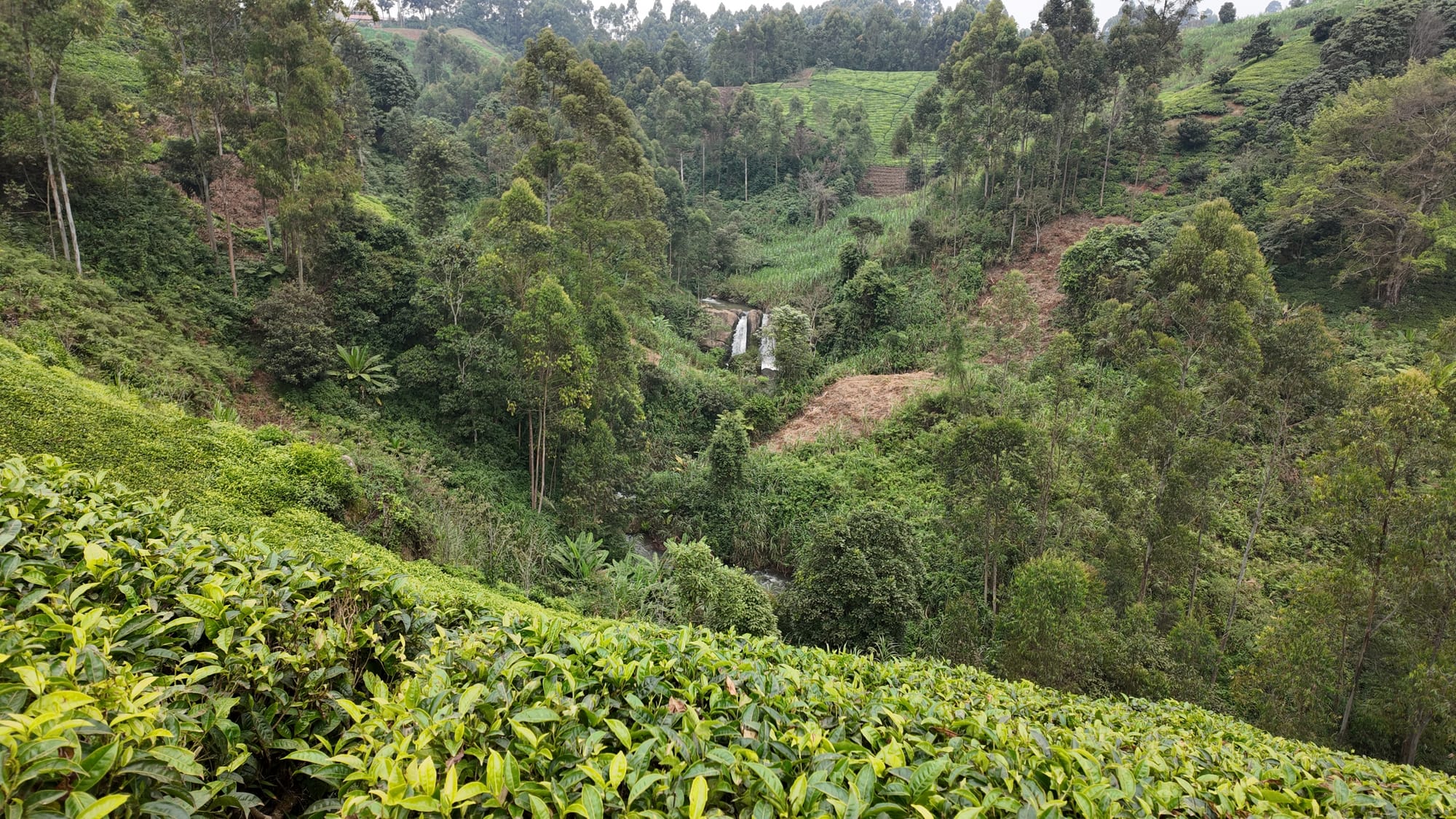
Gatamaiyu is a relatively challenging walk up and down tea farms with rewarding wide open vistas and the occasional waterfalls and river crossings.
It's great for those seeking a mix of highland scenery, short steep climbs and waterfalls exploration in one compact loop.
Location & Access
The trail starts and ends in Kagwe Town.
Google Maps: Kagwe Town
Access
- Self-drive is common. The roads are accessible all year round.
Entry Requirements
The trails is on publicly accessible land with no entry requirements. This is mostly private land, be mindful of people's property.
Route Description
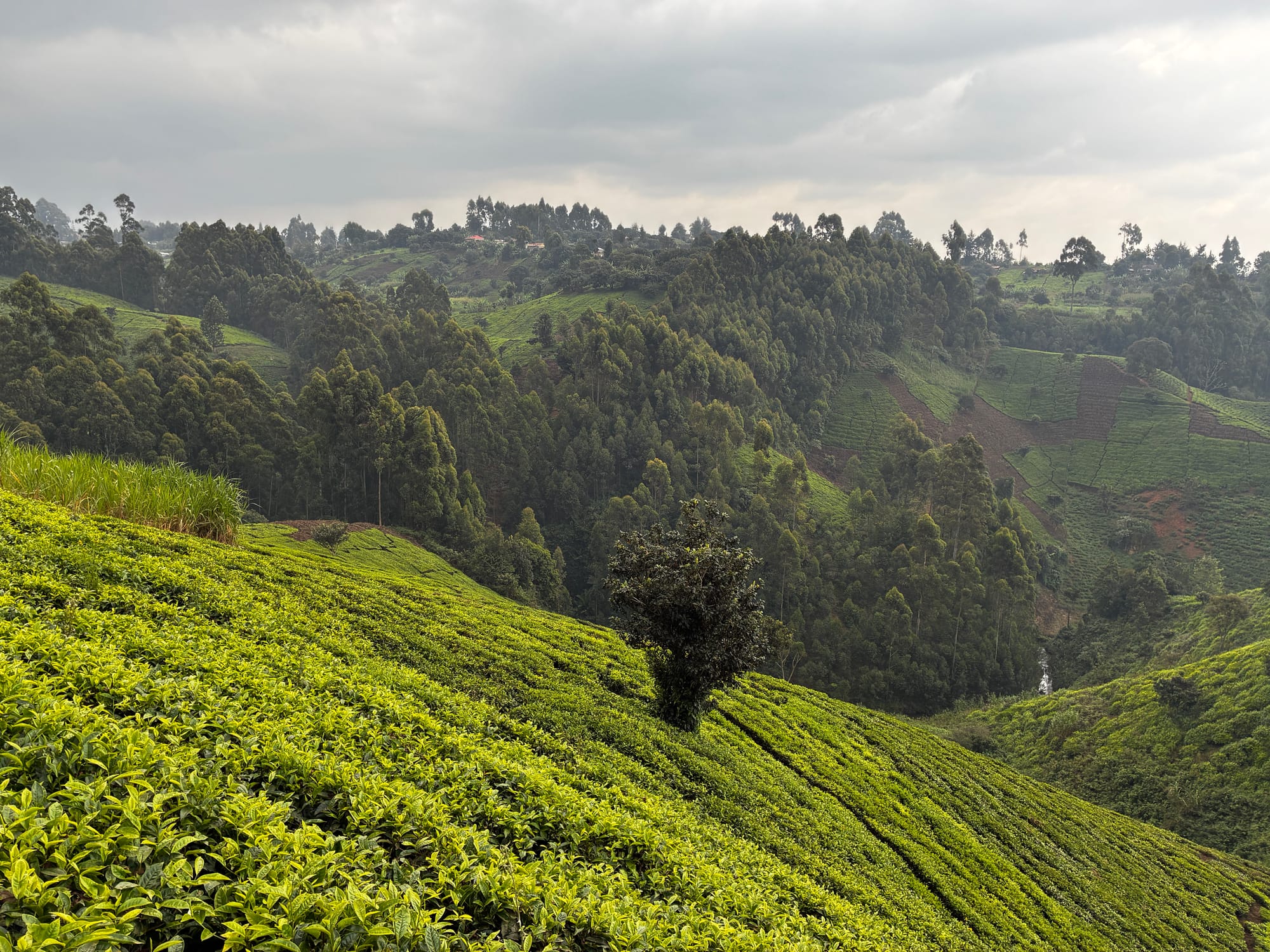
Gatamaiyu Trail starts and ends in Kagwe Town, tracing a moderate 7.8 km loop through the tea-growing highlands of northern Kiambu.
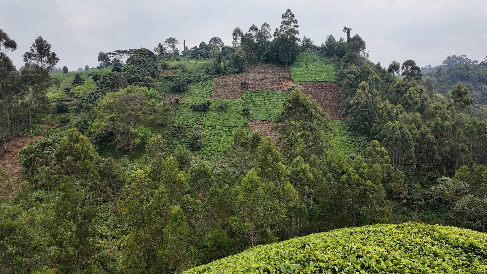
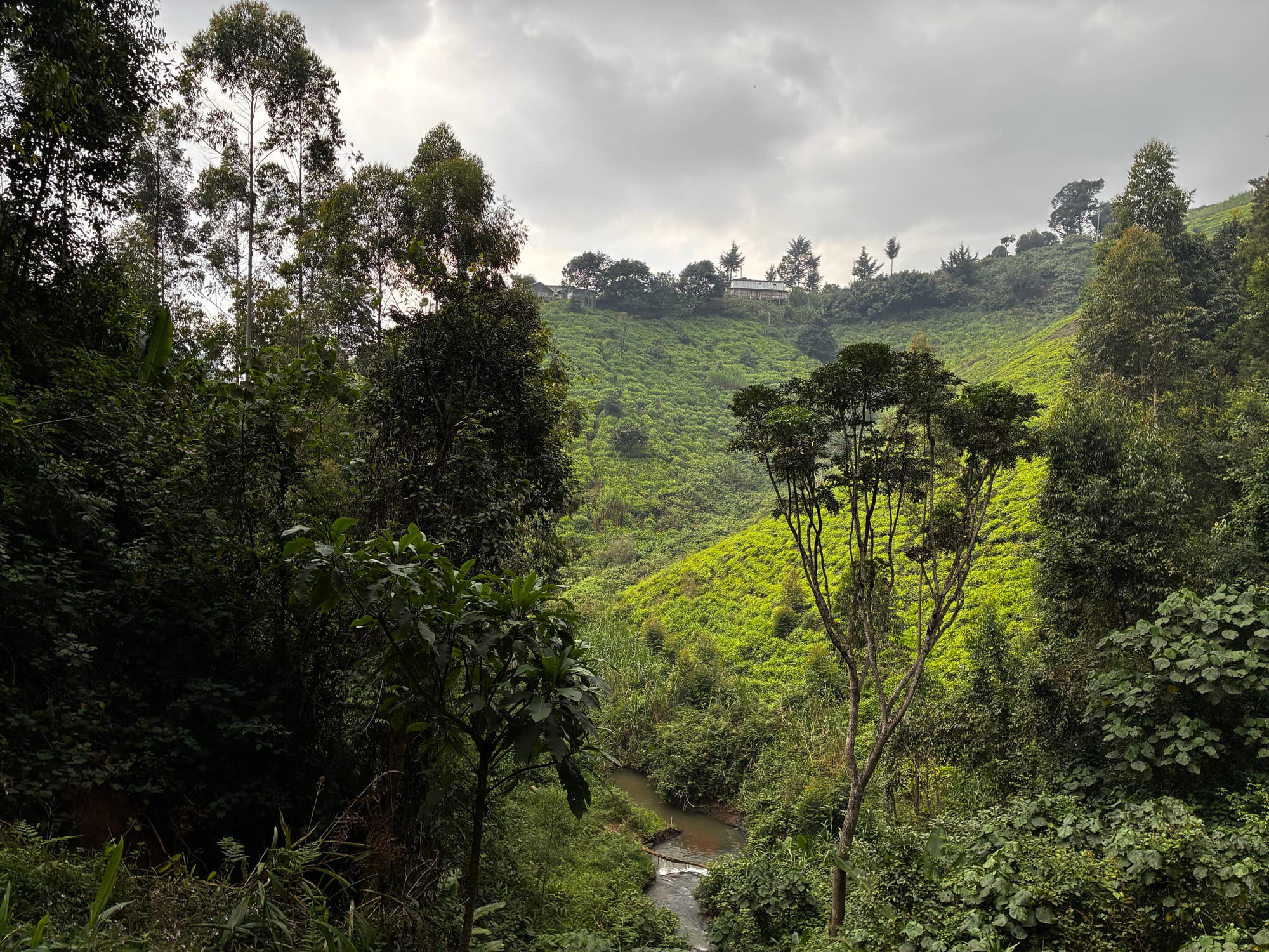
This is a hiking route shaped by contrast. Open farm tracks and tea plantations give way to steep descents into wooded river valleys, where dense vegetation, wet rock and cool shade create a very different mood from the cultivated slopes above. The trail sits between 2,004 and 2,110 metres and packs 447 metres of climbing into a 2 to 3 hour outing, so the hilly terrain demands steady effort throughout.
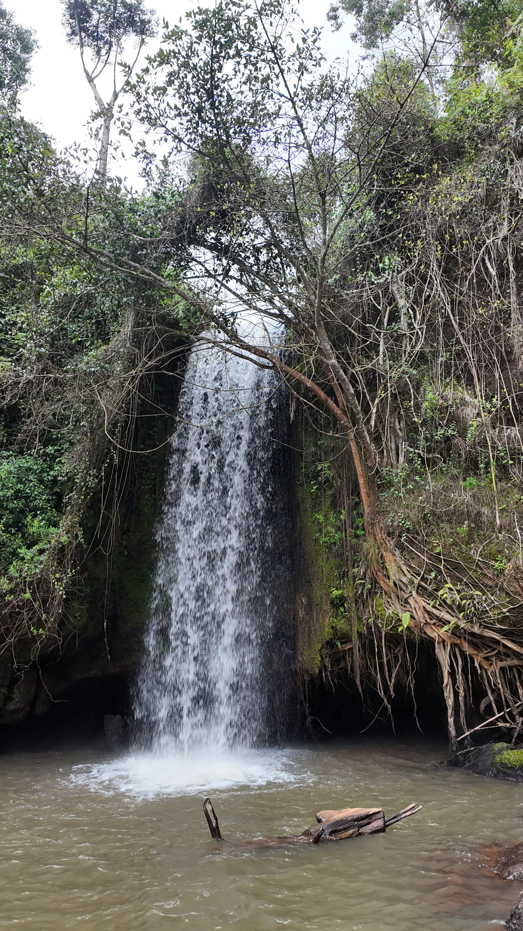
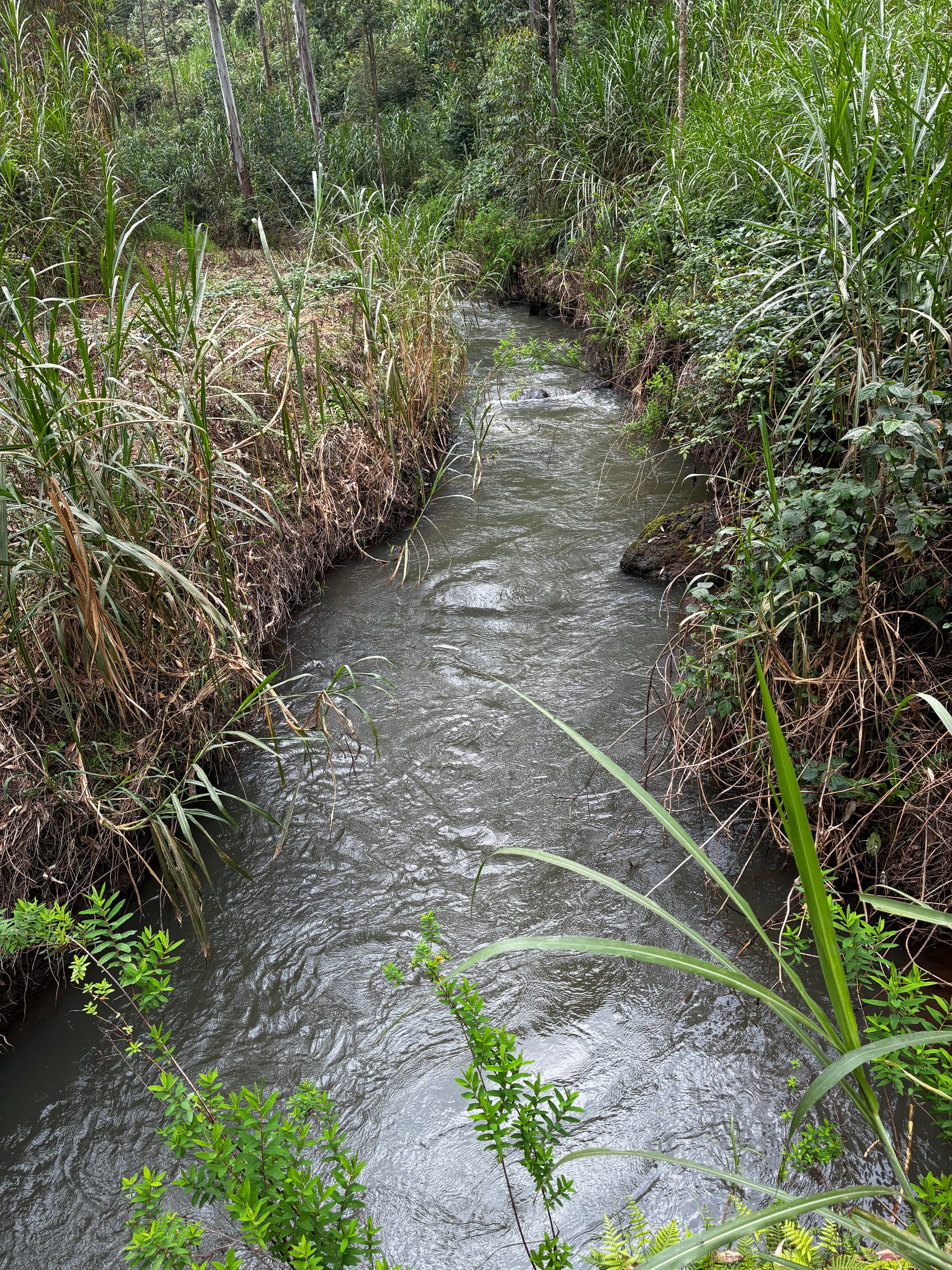
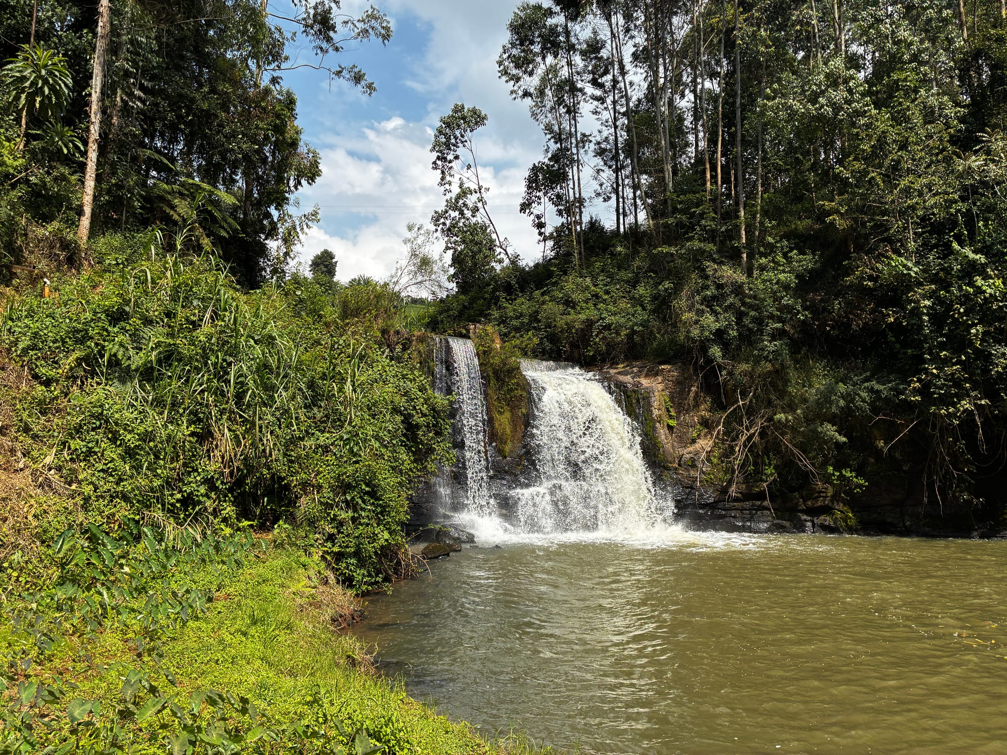
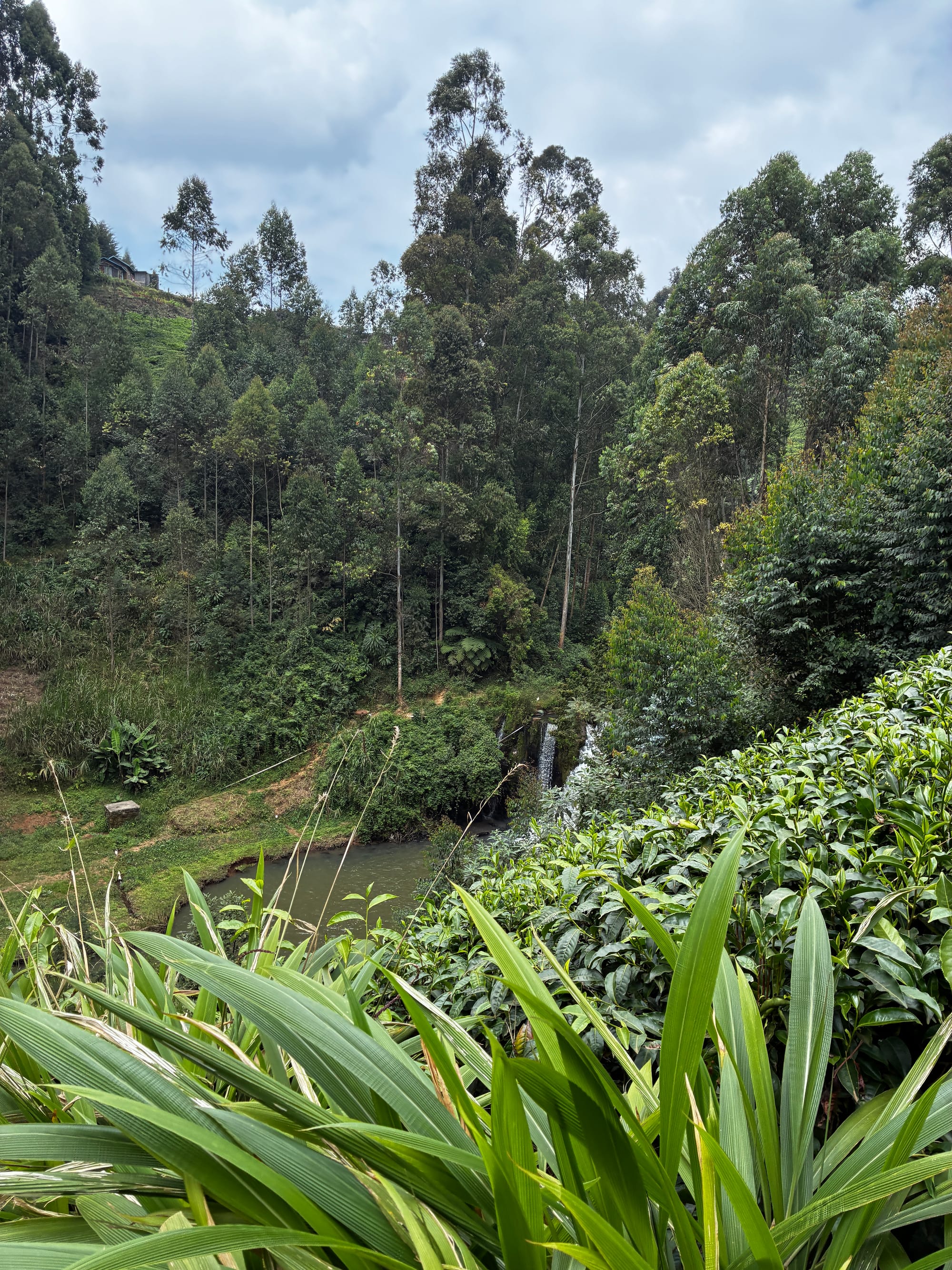
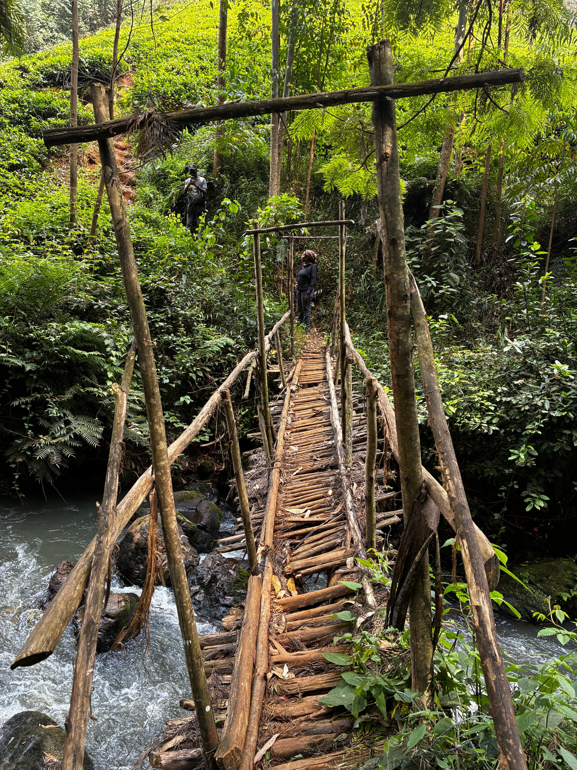
Water defines much of the experience. The route is associated with Kagagu Cave and a series of waterfalls, including a cave-side fall reached through muddy, slippery valley terrain. Riverine sections bring ferns, vines and shaded stream corridors, while the climbs back toward the farms and town can feel tougher than the distance suggests. Kagwe Town serves as both trailhead and finish point, making this a convenient town-based walk rather than a full forest-reserve trek.
Gatamaiyu suits hikers looking for a mix of rural highland scenery, short steep climbs and waterfall exploration in one compact loop.
You can find this route visualized inside the Savanna Guides app.


Highlights
Tea Farms
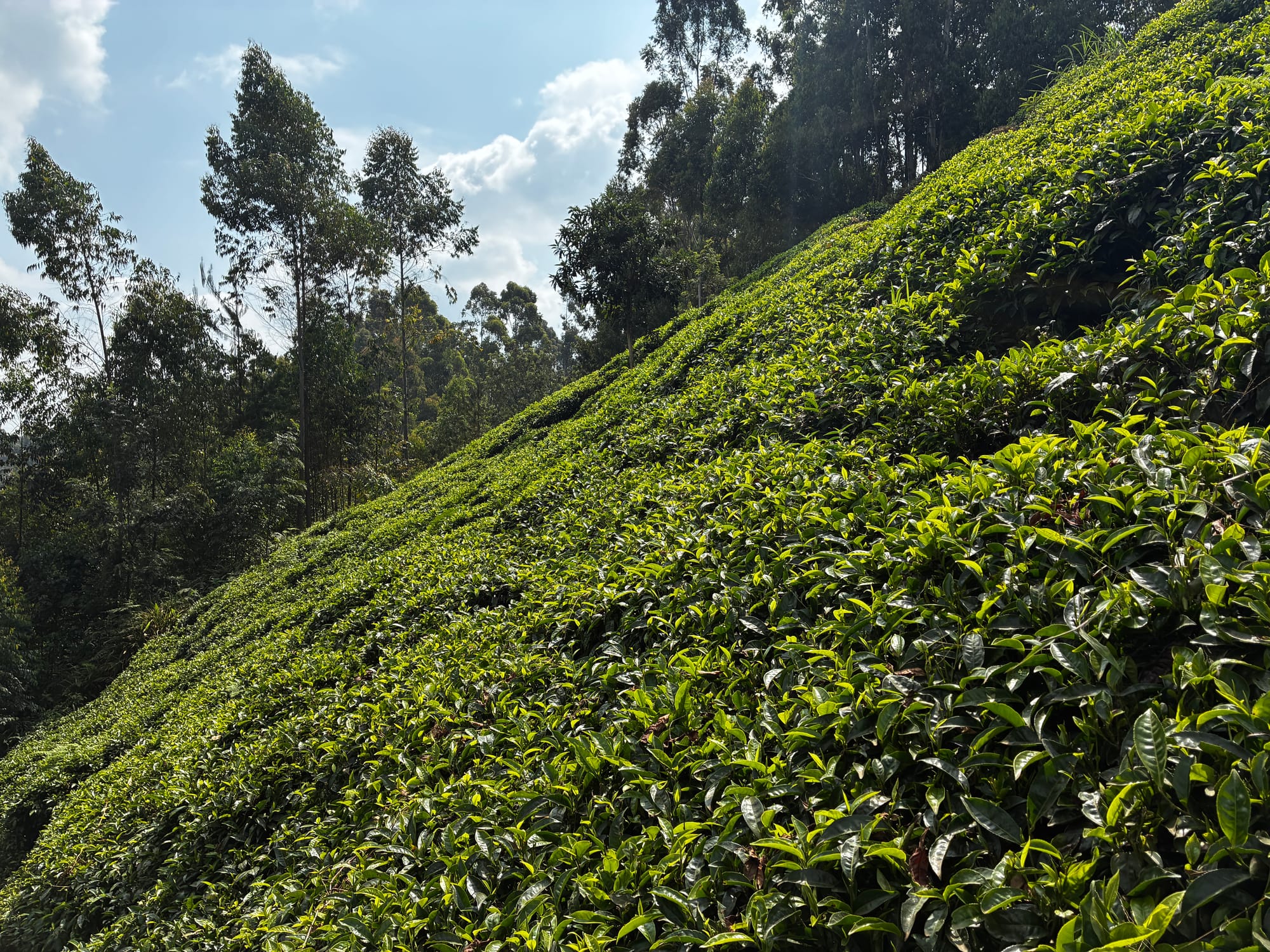
The trails traverse tea plantations descending and ascending steep slopes..
Waterfalls
There are several waterfalls along the trail.
Caves
There are caves on the trail.
Trail Conditions
This section focuses on how the trail feels and behaves, not just the numbers.
- Terrain: mostly tea farms paths with steep slopes near rivers.
- Gradient: steep tea plantations descending into river valleys.
- Surface: can get muddy and slippery after rain; in dry season it's mostly firm.
- Navigation: straightforward with a guide;
- Phone signal: generally great.
- Facilities: no facilities along the trail.
Gear & Packing List
Essentials
- 1.5 L of water per person
- Snacks or a packed lunch
- Comfortable trail shoes or sturdy trainers
- Hat and sunscreen
- Light, breathable clothing that can dry quickly
- A small daypack
- Rain jacket in case of showers.
Safety & Tips
- Weather: prefer the dry season. Muddy trails make navigating the slopes hard.
- Leave no trace: pack out all rubbish, including food wrappers and bottles.
Best Time to Go
- Season: the drier months (roughly June - October and January - March) offer the easiest walking conditions.
- Time of day: starting mid-morning works well.
- Weekdays vs weekends: both are fine.
Notes
Gatamaiyu suits hikers looking for a mix of rural highland scenery, short steep climbs and waterfall exploration in one compact loop.